




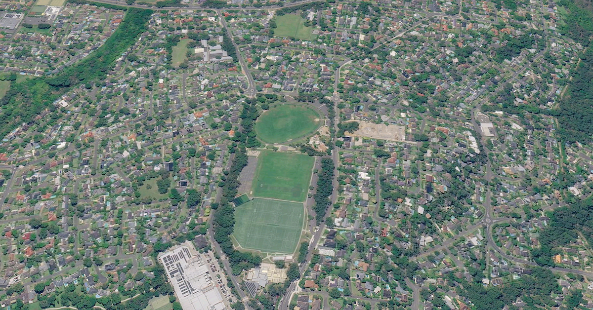
Belrose residents are being urged to review proposed planning changes that could reshape dual-occupancy developments, housing diversity, and local zoning. The draft Local Environmental Plan (LEP) and Development Control Plan (DCP)—on public exhibition until Sunday, 30 August 2026—aim to replace legacy controls from the former Manly, Pittwater, and Warringah councils with a unified framework for the Northern Beaches.
While Northern Beaches Council maintains that most areas will experience limited change, Belrose could see a more noticeable impact due to overlapping proposals within the suburb.
Dual-Occupancy Standards on R2 Land
To consolidate local standards within the broader NSW planning framework, the draft sets new minimum lot sizes for R2 Low Density Residential land:
- Attached dual occupancies (e.g., duplexes): Minimum 800 m²
- Detached dual occupancies: Minimum 900 m²
Development applications will still require consent and assessment against standard requirements, including landscaping, setbacks, parking, tree retention, and bushfire risk.
Housing Diversity Around Belrose Centre
Belrose is one of five identified centres—alongside Avalon, Newport, North Narrabeen, and Freshwater—proposed for a ‘Housing Diversity Area’.
Under the draft, mapped low-density residential properties within 400 metres of the Belrose local centre could accommodate boarding houses and hostels. Council selected these locations to improve access to services and transport, though any development remains subject to consent and strict design controls covering privacy, scale, and neighbourhood amenity.
Major Zoning Shifts for Belrose North
Distinct from the local centre proposals, Belrose North and Oxford Falls Valley (the ‘Deferred Lands’) are transitioning out of the Warringah LEP 2000 framework.
Driven largely by Council’s Conservation Zones Review, these areas will adopt standard NSW planning zones, including Primary Production Small Lots (RU4), Environmental Conservation (C2), Environmental Management (C3), and Large Lot Residential (R5).
Many of the proposed zoning changes follow Council’s Conservation Zones Review and its analysis of existing land uses, environmental values and local character.
An earlier version included a two-year provision that would have retained some currently permitted uses after the new LEP commenced. However, the NSW Department’s Gateway conditions required Council to remove that provision before the proposal went on formal public exhibition.
Broader Controls and Next Steps
Beyond land use, the unified framework introduces broader controls, such as floor-space ratios for low-density areas, alongside updated DCP guidance for overshadowing, stormwater, and environmental hazards.
Because impacts vary considerably by site, Council strongly advises residents to inspect the NSW Planning Portal to check their specific property dimensions, zoning maps, and hazard overlays.
Submissions Close: 11:59 pm, Sunday 30 August 2026.
Published 29-July-2026


